A 40-Year Journey
The Great Allegheny Passage (GAP) can trace its beginning to June 9, 1978, when the Western Pennsylvania Conservancy purchased the first property that would become the GAP from the Western Maryland Railway Company.
The Conservancy purchased 27 miles of the railroad from Connellsville to Confluence. Nine miles of trail from Ohiopyle to near Confluence were opened in 1986. This was the best possible advertisement for the rails-to-trails movement; people flocked to it by the thousands, then hundreds of thousands.
Rail trail groups formed all along the corridor and it became apparent that a continuous trail might be possible from Pittsburgh to Cumberland to Washington, DC. In 1995 the consensus of those trail organizations decided to unite and the Allegheny Trail Alliance (ATA) was formed.
This website is dedicated to Linda McKenna Boxx for her impassioned leadership during the building of the Great Allegheny Passage.


Discover the Trail
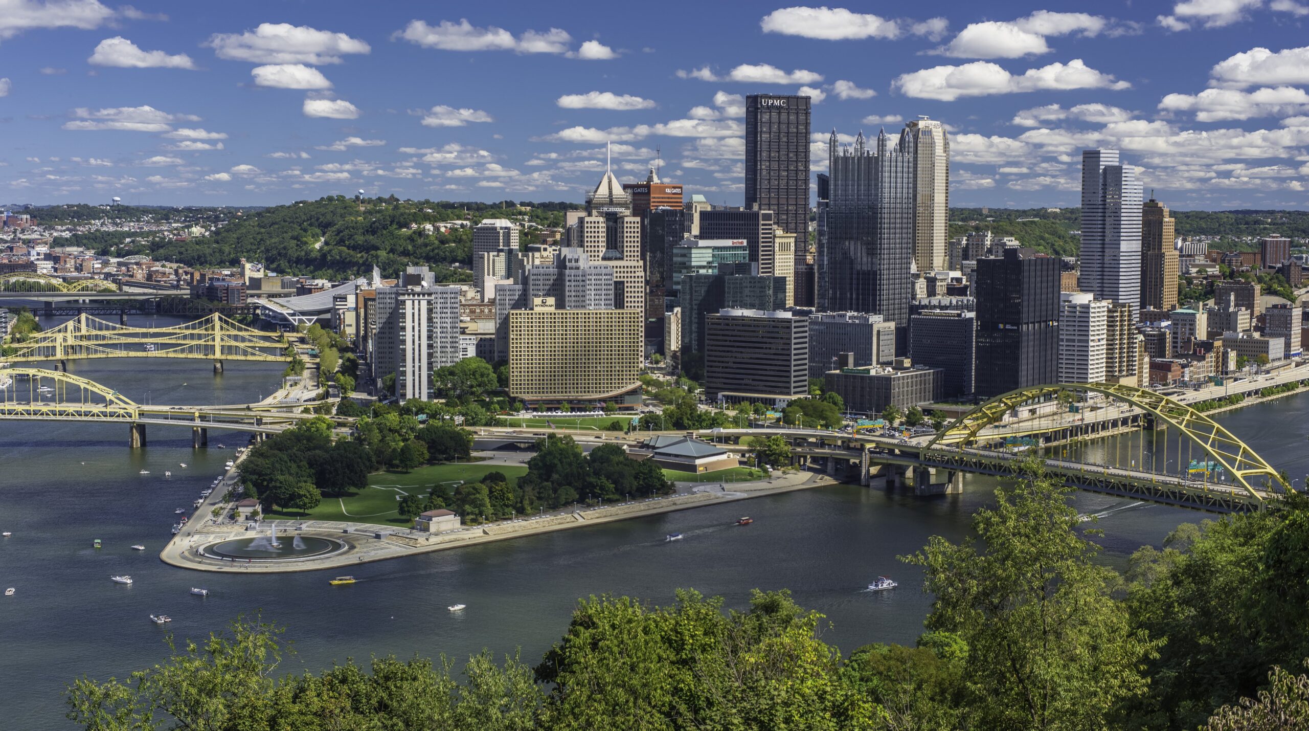
Pittsburgh
The bustling metropolis of western Pennsylvania, Pittsburgh is a hub for tourism and history, making it a fitting city to end the GAP trail in at the Western Terminus along The Point State Park.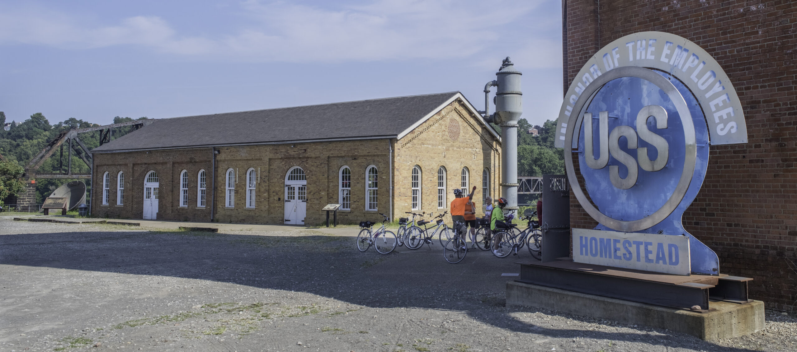
Homestead
The Waterfront and surrounding communities are reinventing their economy around retail, entertainment and tourism. The Waterfront has shopping, dining, entertainment, a residential district, Sandcastle Waterpark, and three hotels.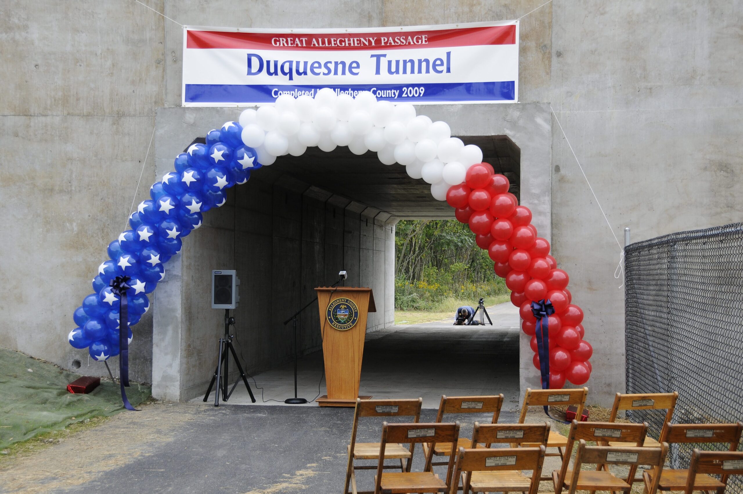
Duquesne Underpass
The trail crosses, via two flyover bridges, busy railroad tracks hauling coal, freight and manufactured goods. The two bridges are connected by trail built on a former U. S. Steel coke gas pipeline. Across the river the Edgar Thomson Works, the last steel plant in the valley, and Braddock Lock and Dam are clearly visible from the trail.
McKeesport
Located at the confluence of the Youghiogheny and Monongahela Rivers, McKeesport is also at the confluence of two trail systems. The route through McKeesport was improved in 2013.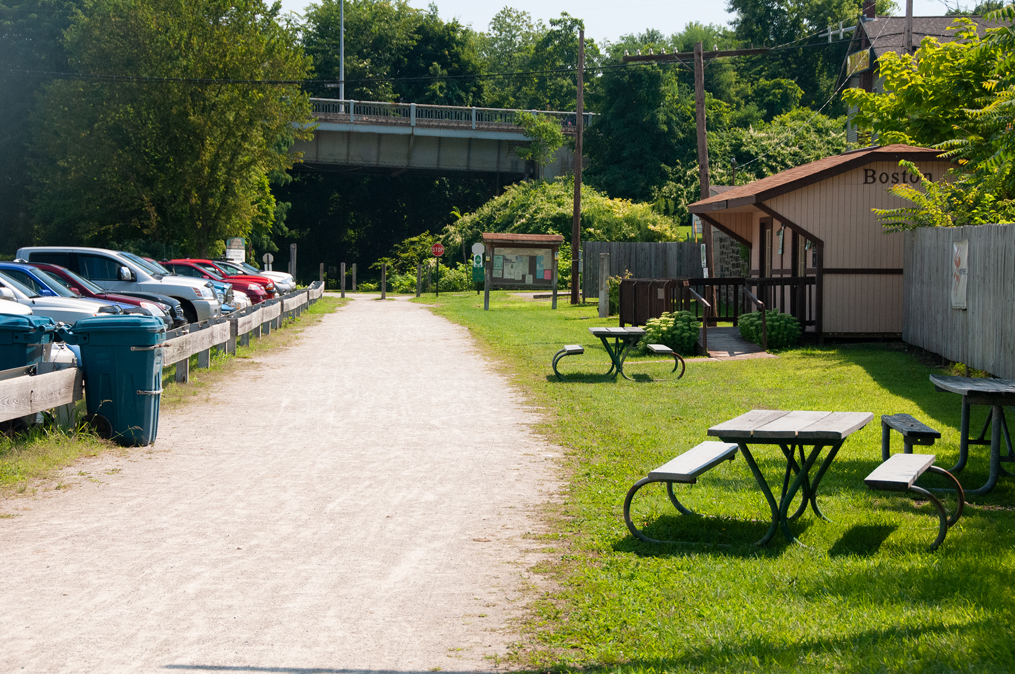
Boston
Boston, or “Little Boston,” as the locals call it, has trailhead parking and ballfields. This section of trail takes you past closed mills and other reminders of a more prosperous time.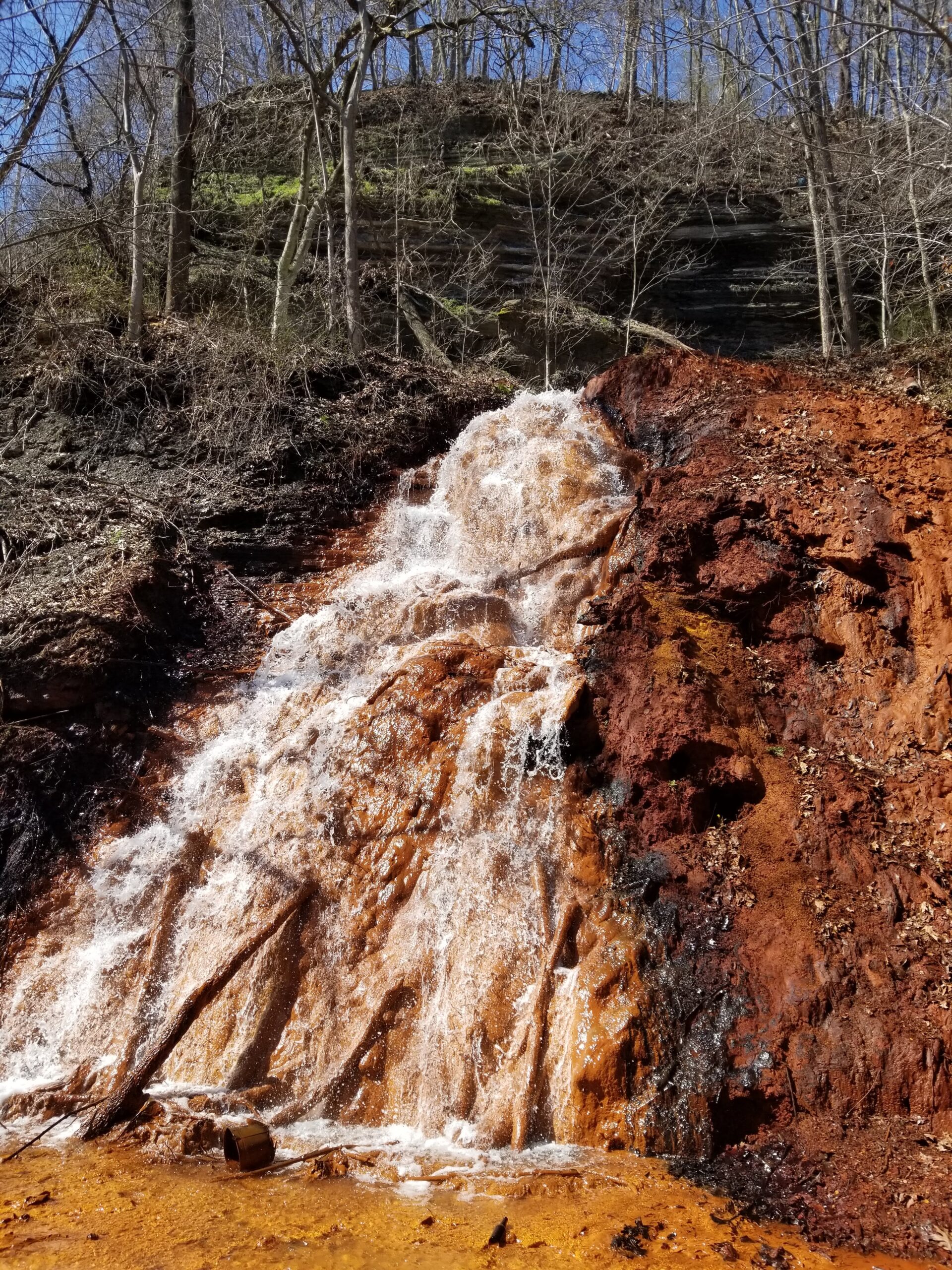
Buena Vista
Buena Vista is a typical "patch" or coal company town. The small homes are placed closely together on the banks of the river and up the hillsides. Originally, four families lived in each house. Between Buena Vista and Blythedale, you'll pass more evidence of the region's coal mining history - a large red waterfall of acid mine drainage.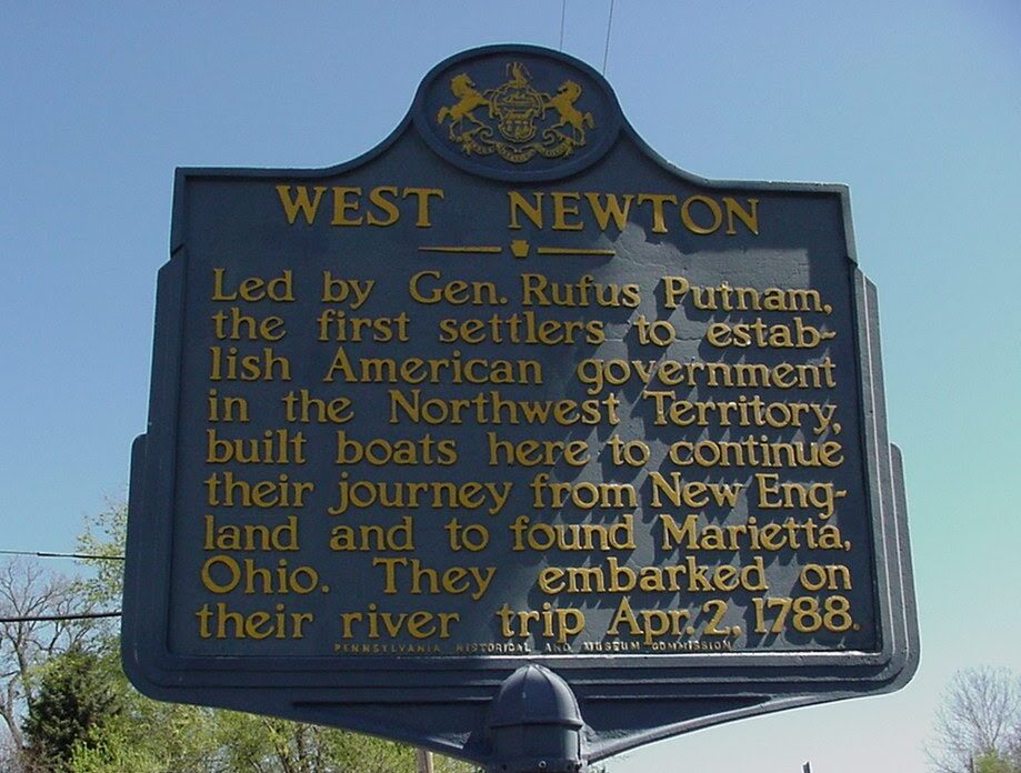
West Newton
In the late 1700s, West Newton was an early jumping off point for travelers heading west. The abundant forests in the area provided excellent material for flatboats, barges and rafts that were launched here and went downriver to McKeesport and Pittsburgh, finally reaching the Ohio River. The trail is on the west bank of the Youghiogheny River, with the historic downtown just across the bridge.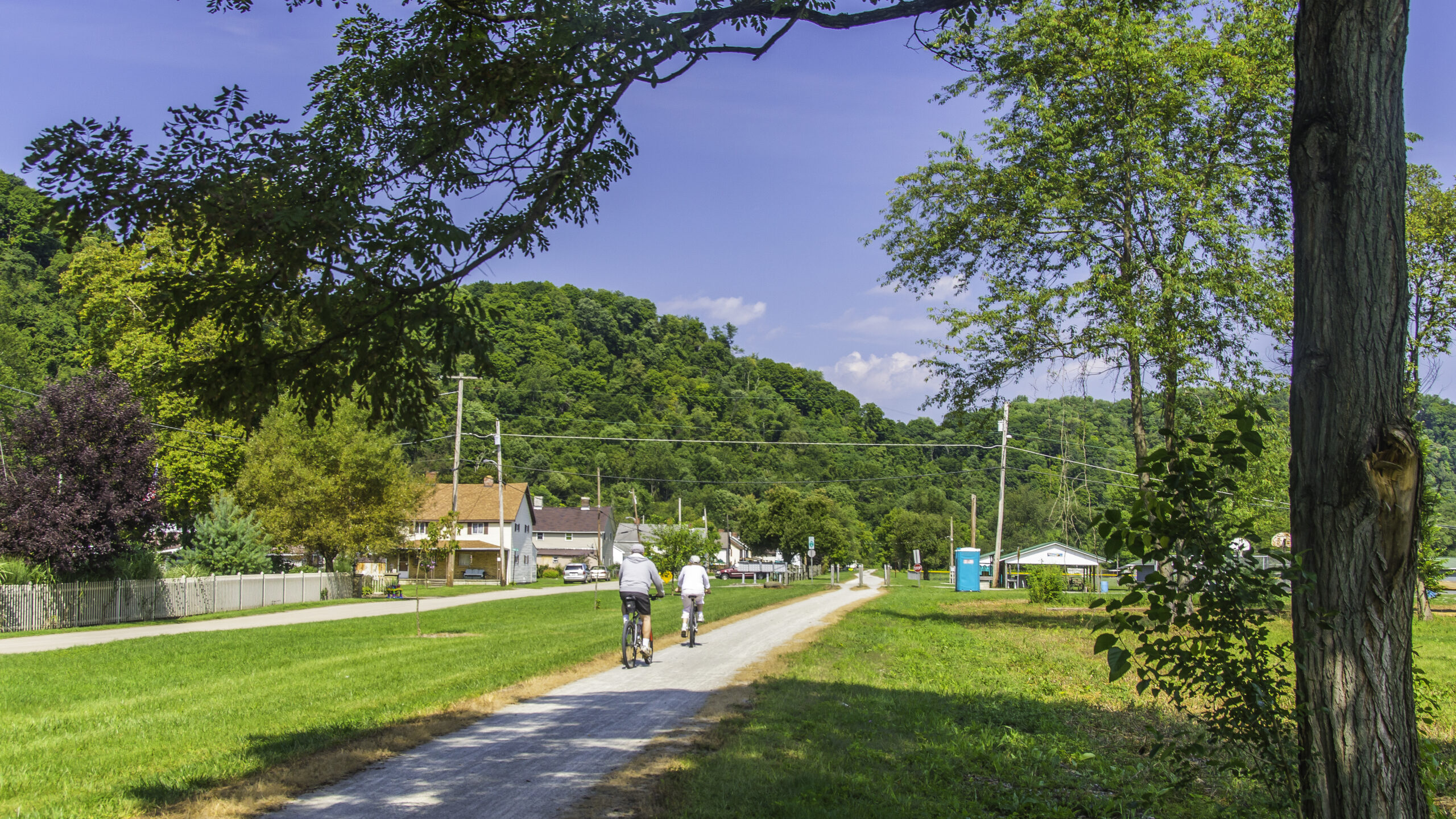
Whitsett
This town achieved National Historic Register of Historic Places status in 1995 as it exemplified the typical coal patch company town. Going north, you’ll pass the remains of the Pittsburgh Coal Company’s Banning Number One Mine and overhead you’ll see the impressive Pittsburgh & West Virginia Banning trestle.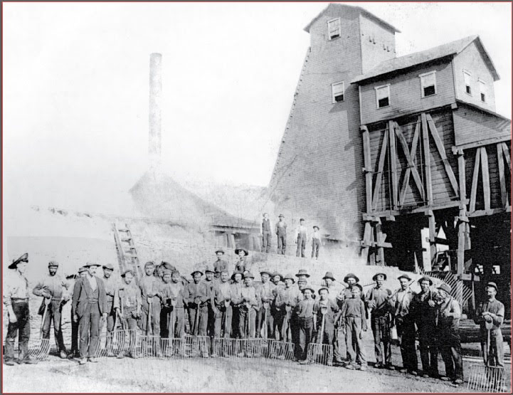
Adelaide
This coke-producing company town, named for industrialist Henry Clay Frick’s wife, was developed during the heyday of Pennsylvania’s coal and coke industry. Several batteries of coke ovens still stand near here.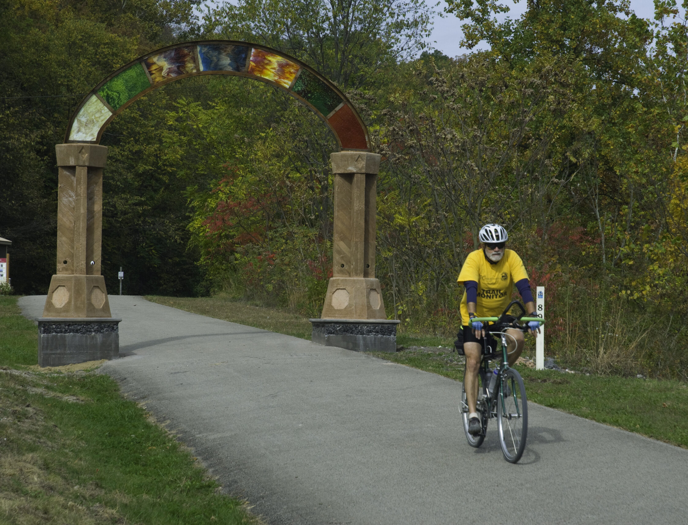
Connellsville
In the early 1900s, Connellsville was king of coal mining and coke production. The industry was so lucrative that Connellsville once boasted more millionaires than any U.S. city of its size. The trail follows streets through Connellsville’s west side, formerly the town of New Haven and now a business district that contains a bike shop, a B&B, a hotel, and other retail shops.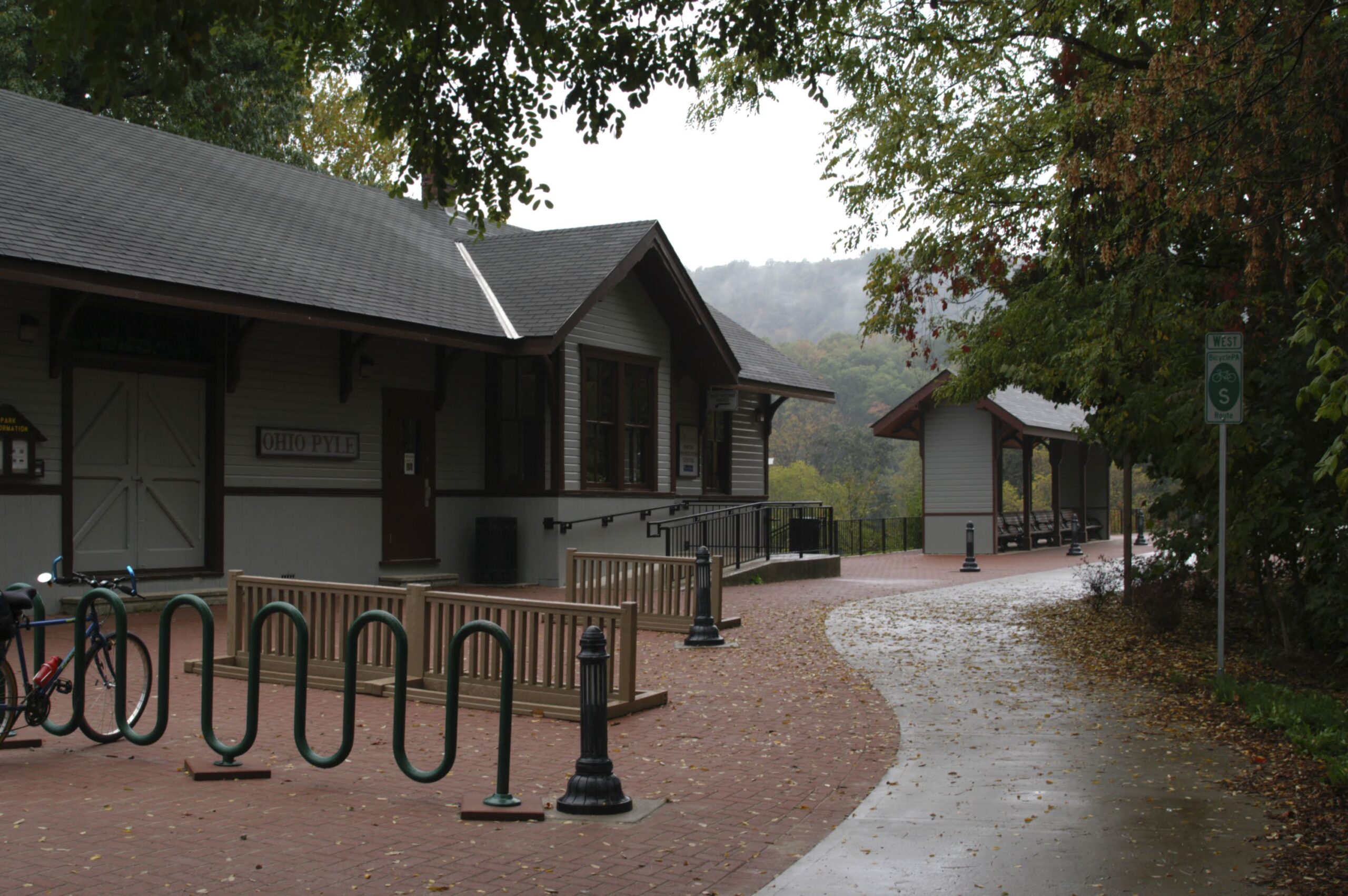
Ohiopyle
As you come into the village of Ohiopyle, a former train station serves as a trail visitor center. The trail continues across Ohiopyle Low Bridge to Ferncliff Peninsula, a National Natural Landmark with rare plant species able to survive because the falls and rapids that encircle the peninsula moderate the temperature extremes.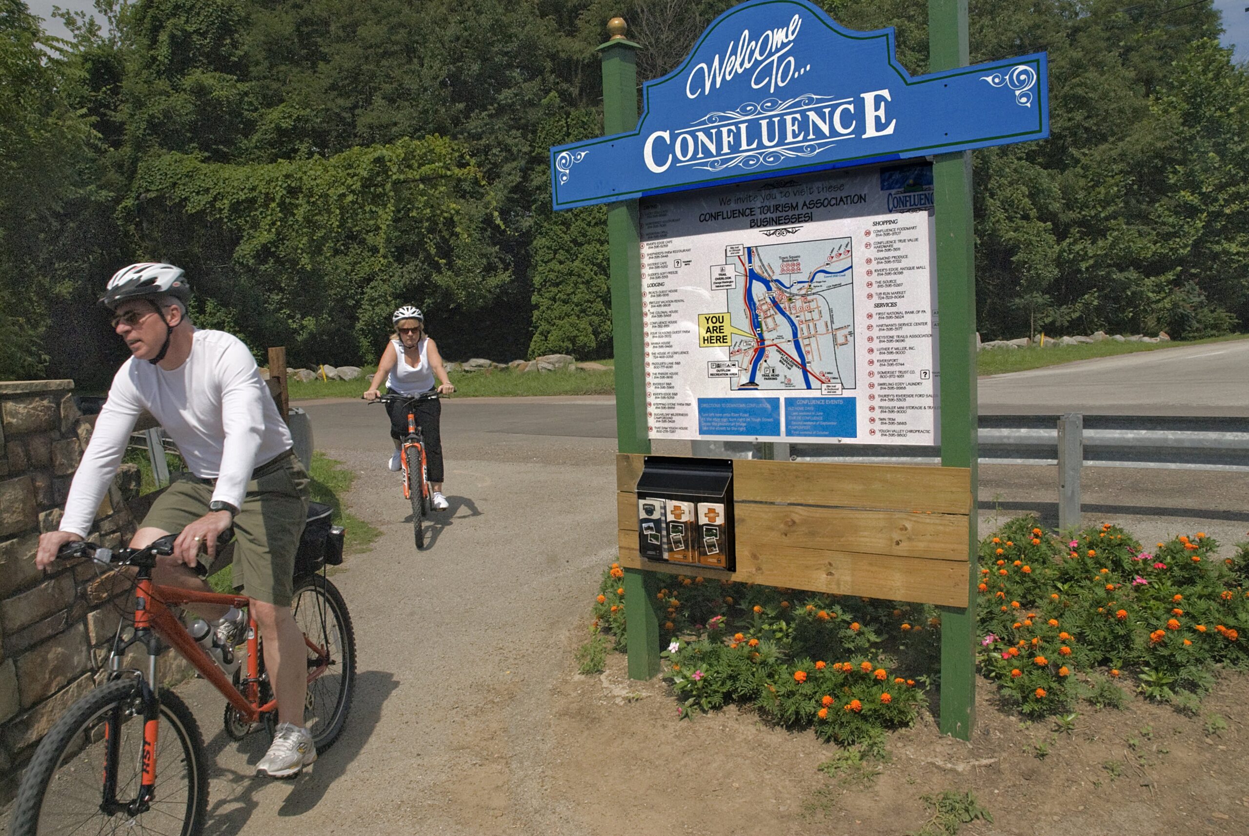
Confluence
From here to Whitsett along the Youghiogheny River is one of Pennsylvania’s Important Bird Areas (IBA), designated by the National Audubon Society. As you leave Confluence, heading north, you will travel eleven miles to Ohiopyle, along the oldest and most popular section of trail.
Markleton
Across the bridge and downstream from the local post office was the site of the Markleton Sanitarium, built first as a mountain resort reachable by rail and later used as a restorative clinic for tuberculosis patients. Markleton was once the site of the world’s largest wood pulp mill which closed in 1893.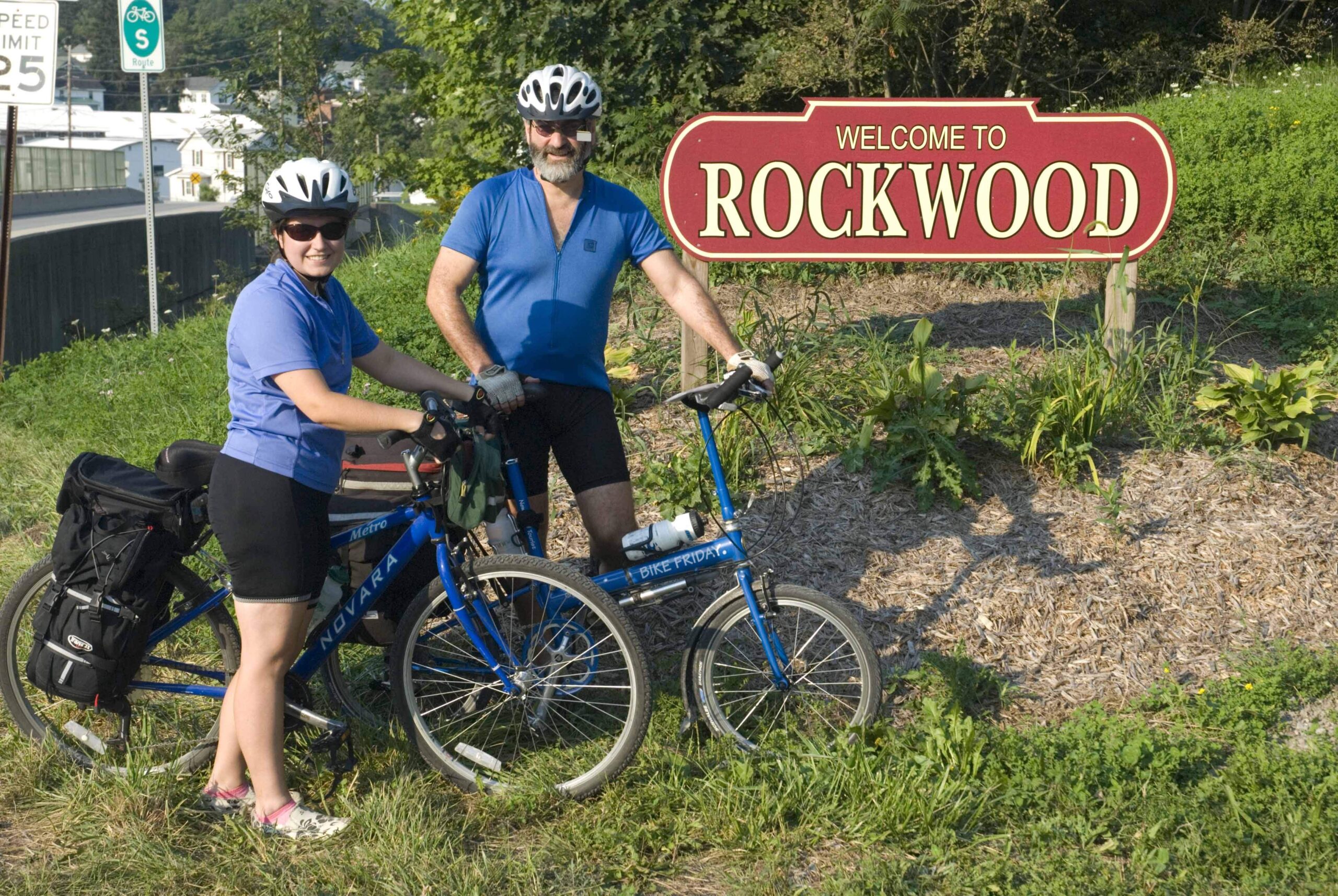
Rockwood
The visitors center offers information, water, and the only cell signal amplifier on the trail. The town of Rockwood is across the river from the trail.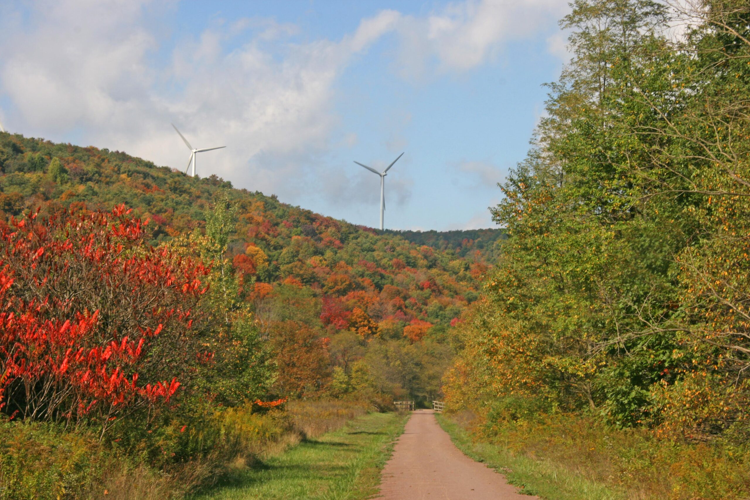
Garrett
From Meyersdale to Garrett, you’re out of the woods and into farmlands, including wind farms, Somerset County’s newest energy industry. About five miles north of Garrett is the Wymp’s Gap Fossil Quarry.
Meyersdale
Meyersdale, Pennsylvania is a quaint little trail town located in Somerset County. It offers overnight lodging, local restaurants, and a GAP trailhead in proximity to the Meyersdale Railroad Museum & Visitor Center.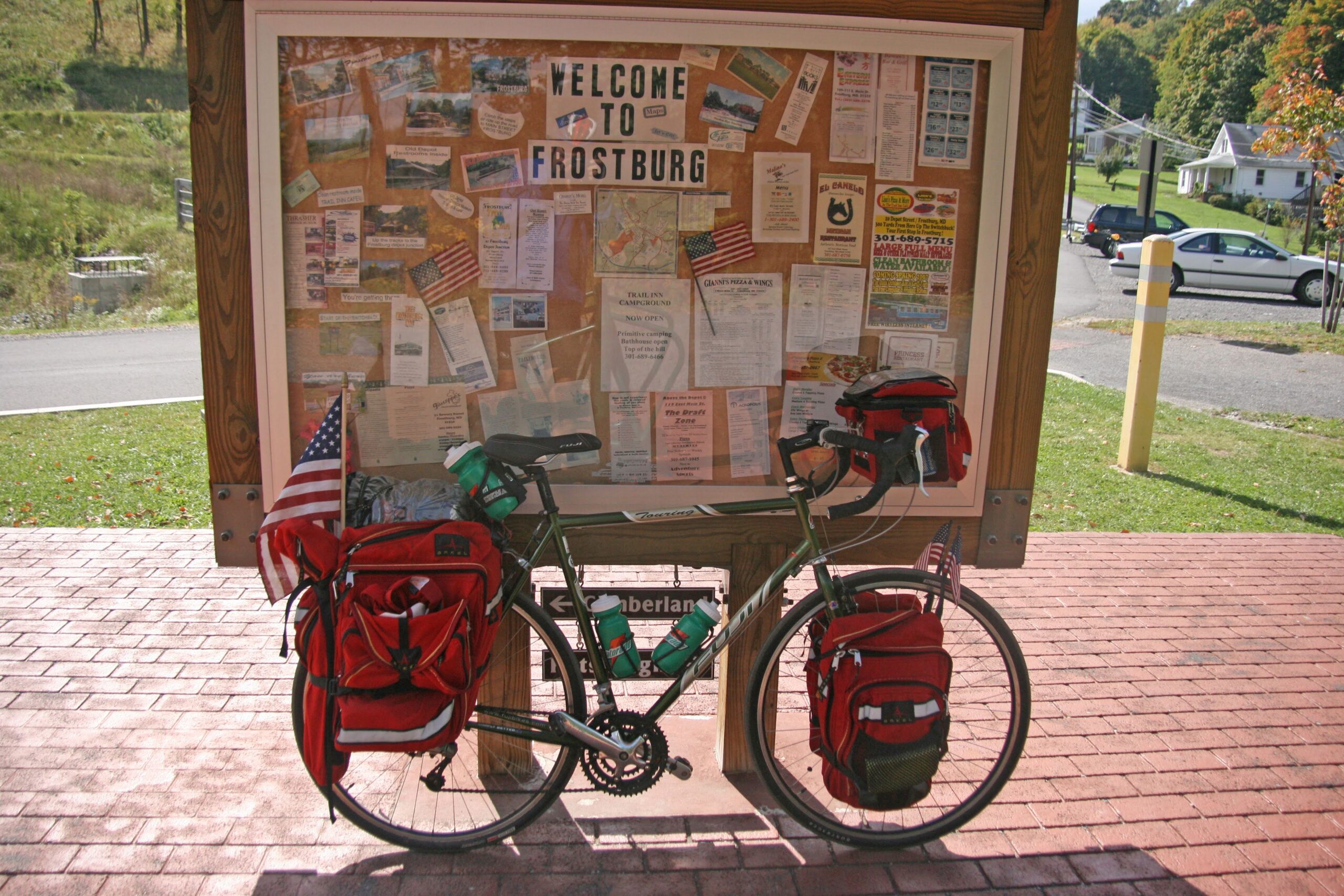
Frostburg
The switchback uphill from the Frostburg trailhead takes you easily to the renovated Frostburg Depot Station. The scenic railroad from Cumberland runs from May to December and a highlight of the trip is watching the turntable in action.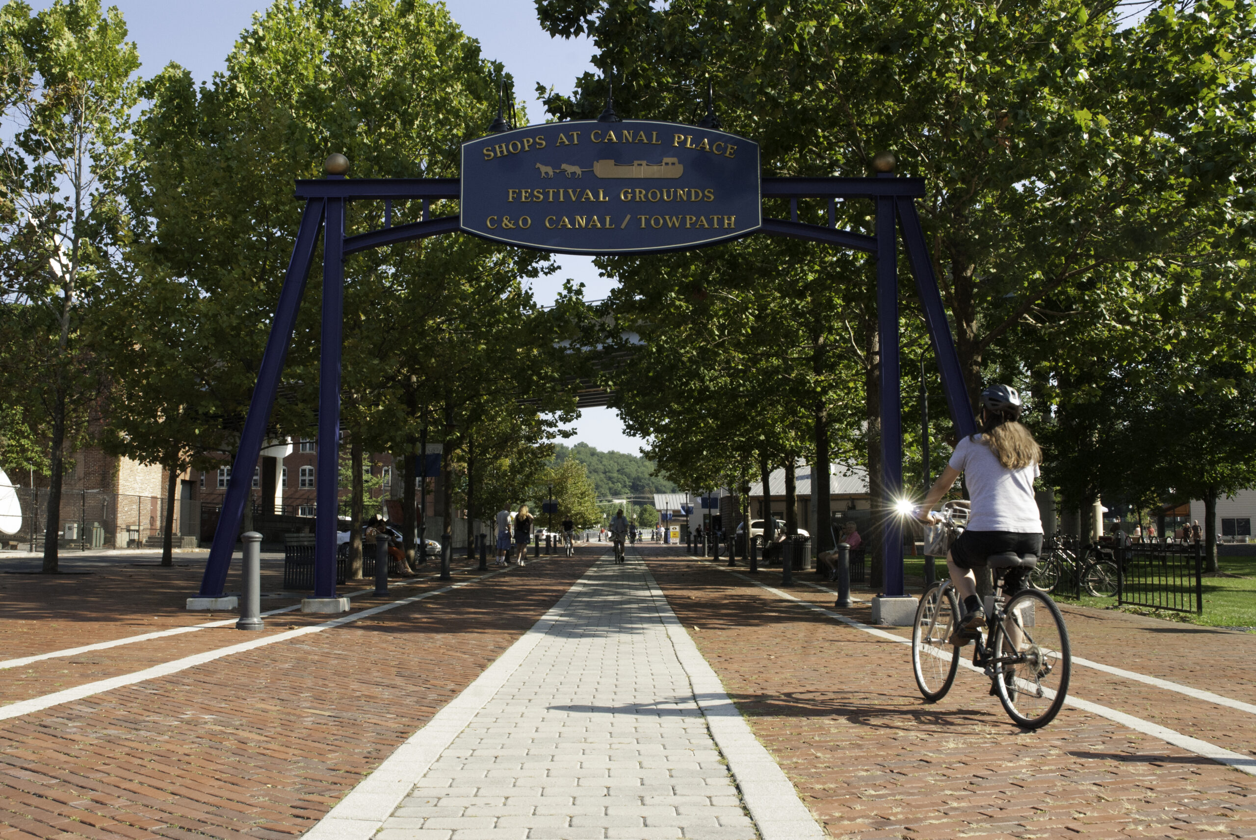
Cumberland
The Cumberland Visitor Center is located in the historic 1913 Western Maryland Railway Station at 13 Canal Street, in Canal Place. Cumberland is also the crossover point from the C&O Trail to the GAP.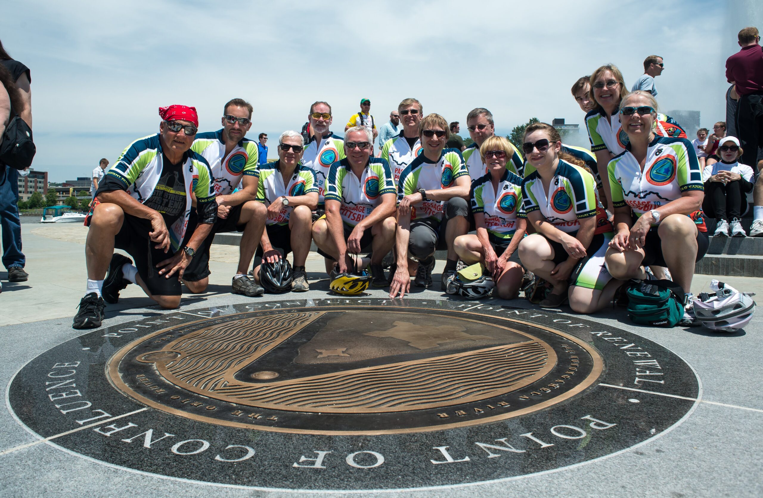
Point State Park: GAP Western Terminus
Within The Point State Park is the GAP Western Terminus, the final stop along the Greater Allegheny Passage. The Terminus is located at the very tip of the park where the Monongahela and Allegheny Rivers meet to form the Ohio River.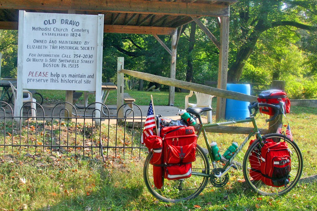
Dravo Cemetery and Campground
Dravo was once a small settlement with an established Methodist Church, but only the cemetery remains today. Boy Scouts constructed the camp that remains here as a community service project.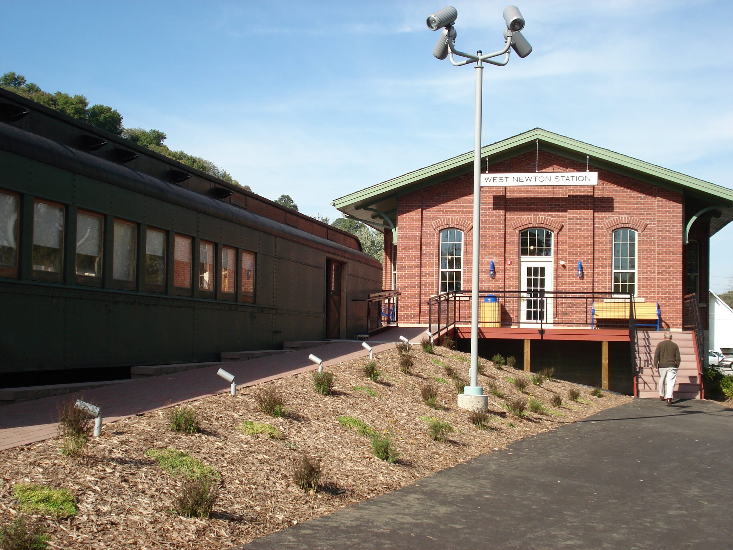
West Newton Visitor’s Center
The rest stop and Regional Trail Corporation office building was modeled after the 1910 P&LE train station that once stood in the same location.
Cedar Creek Park
The GAP passes through Westmoreland County's 479-acre park along the Youghiogheny River. The park provides river access, picnic pavillions, permanent restrooms, a primative campground, and group camping sites. The Cedar Creek Gorge walking trail is home to rare wildflowers which bloom during the spring.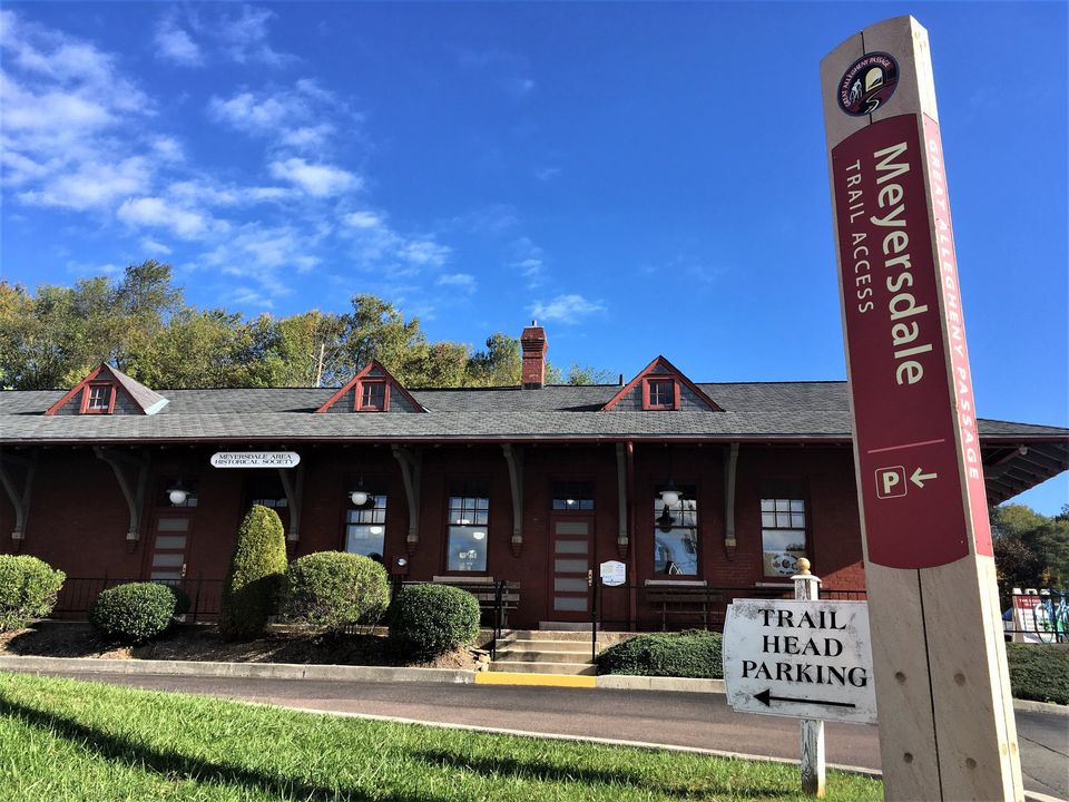
Meyersdale Railroad Museum & Visitor Center
The Meyersdale Historical Society has renovated the Western Maryland Station, providing a welcome center for trail users, with displays on local history as well as a retail store that benefits the local historical society.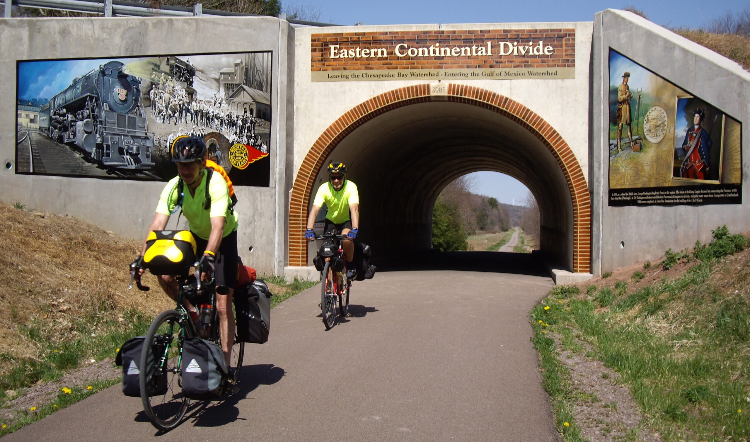
Eastern Continental Divide
Beyond the Big Savage Tunnel a short climb brings you 2,392 feet above sea level and to the Eastern Conteniental Divide---the boundary of the watersheds of the Atlantic Ocean and the Gulf of Mexico. This is the highest point along the GAP.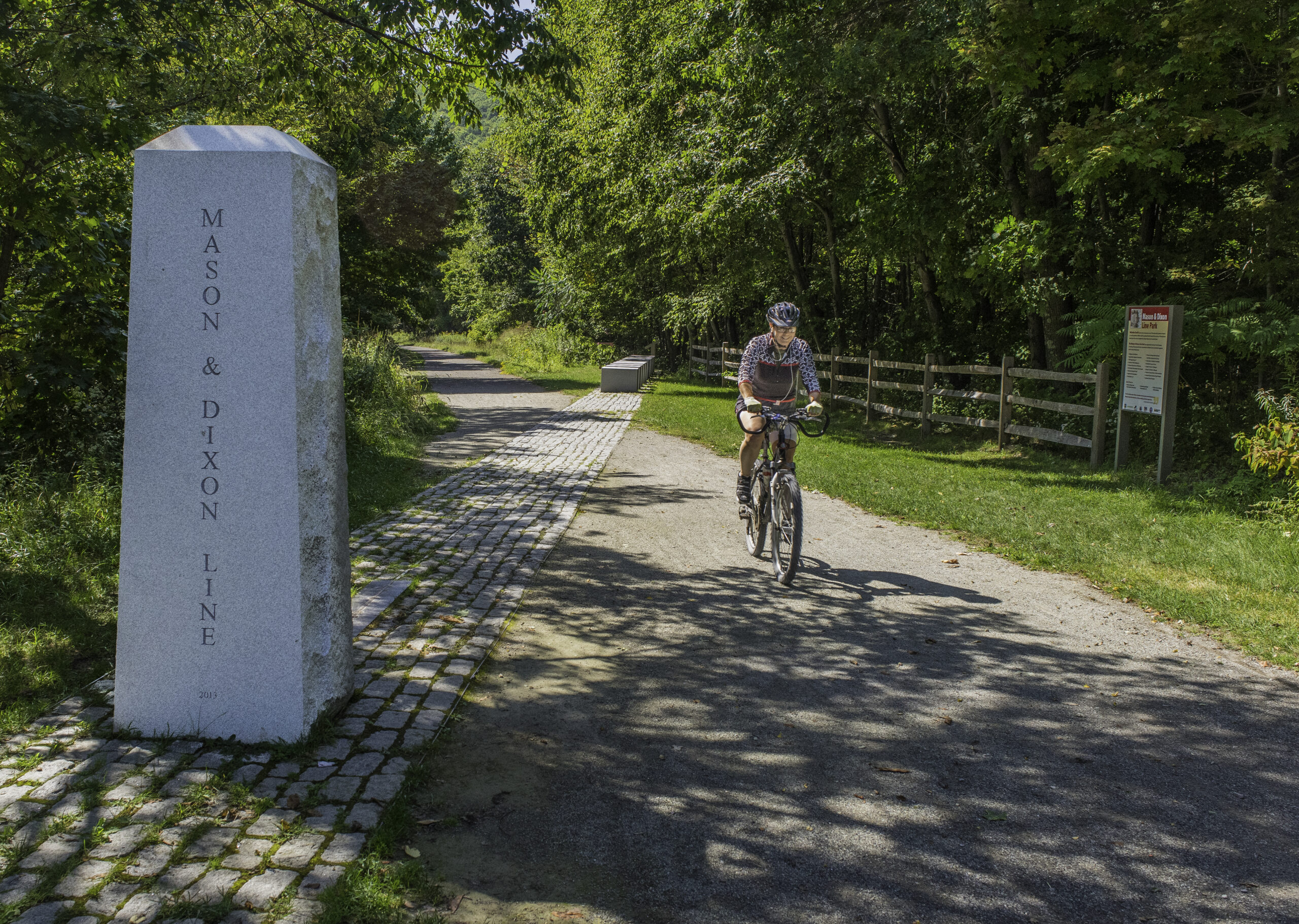
Mason-Dixon Line
In the mid-1730’s, border conflicts erupted between colonists living on the 40th parallel between Maryland and Pennsylvania. An English team of surveyors named Charles Mason and Jeremiah Dixon were sent to resolve the dispute. This monument was built in tribute to their survey and display the PA/MD state line.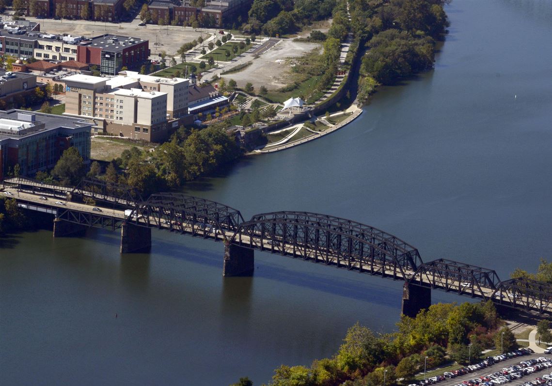
Hot Metal Bridge
The Hot Metal Bridge is a truss bridge in Pittsburgh, Pennsylvania, that crosses the Monongahela River.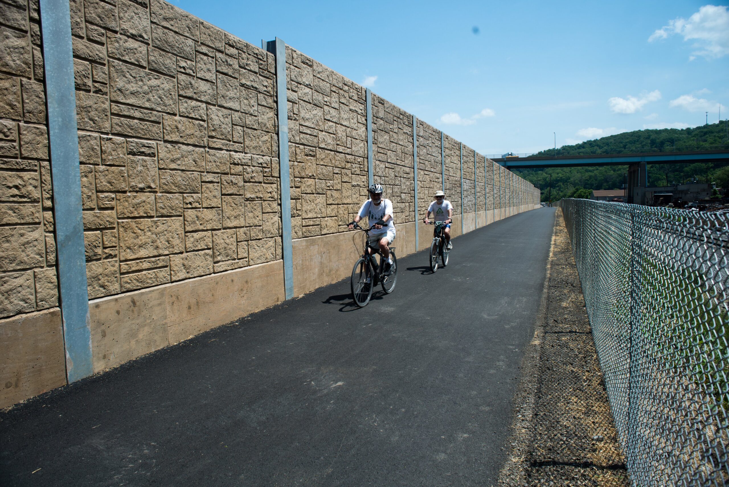
Keystone Iron & Metals: The Great Wall
One of the very last segments of the Great Allegheny Passage to be acquired, the Great Wall at Keystone Iron & Metals Inc. stands tall for 1,200 feet of trail. An engineering feat of its own, the Great Wall breaches the gap between the South Side and Homestead to ferry trail users onward to Pittsburgh.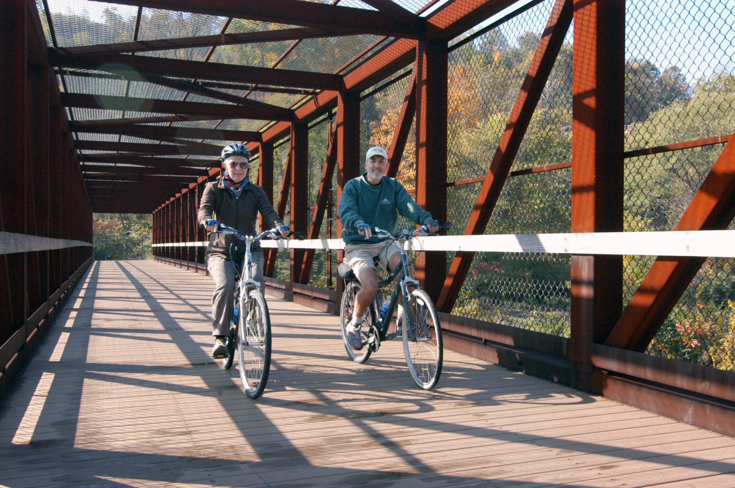
Port Perry Bridge
A flyover bridge on a former U.S. Steel coke and gas line. Its sister bridge (the Whitaker Bridge) was constructed over an active railway within a limited timeframe.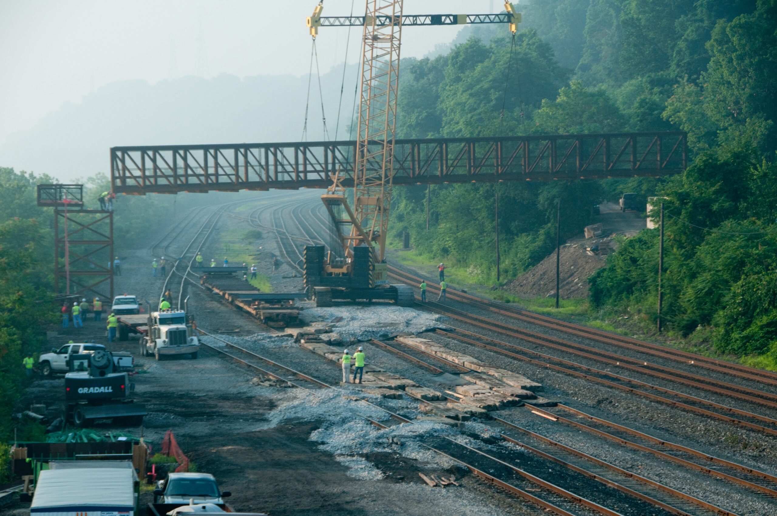
Whitaker Bridge
The second flyover bridge within a mile or so along the U.S. Steel gas and coke line; second only to the Point Perry Bridge.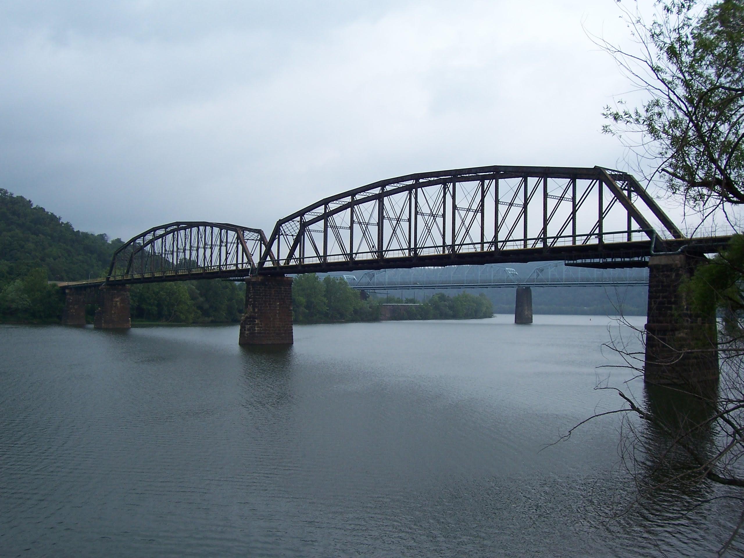
Riverton Bridge
The Union Railroad structure was decommissioned for railroad use in 2008 and rehabbed in record time for the Pittsburgh 250th anniversary celebration later that year.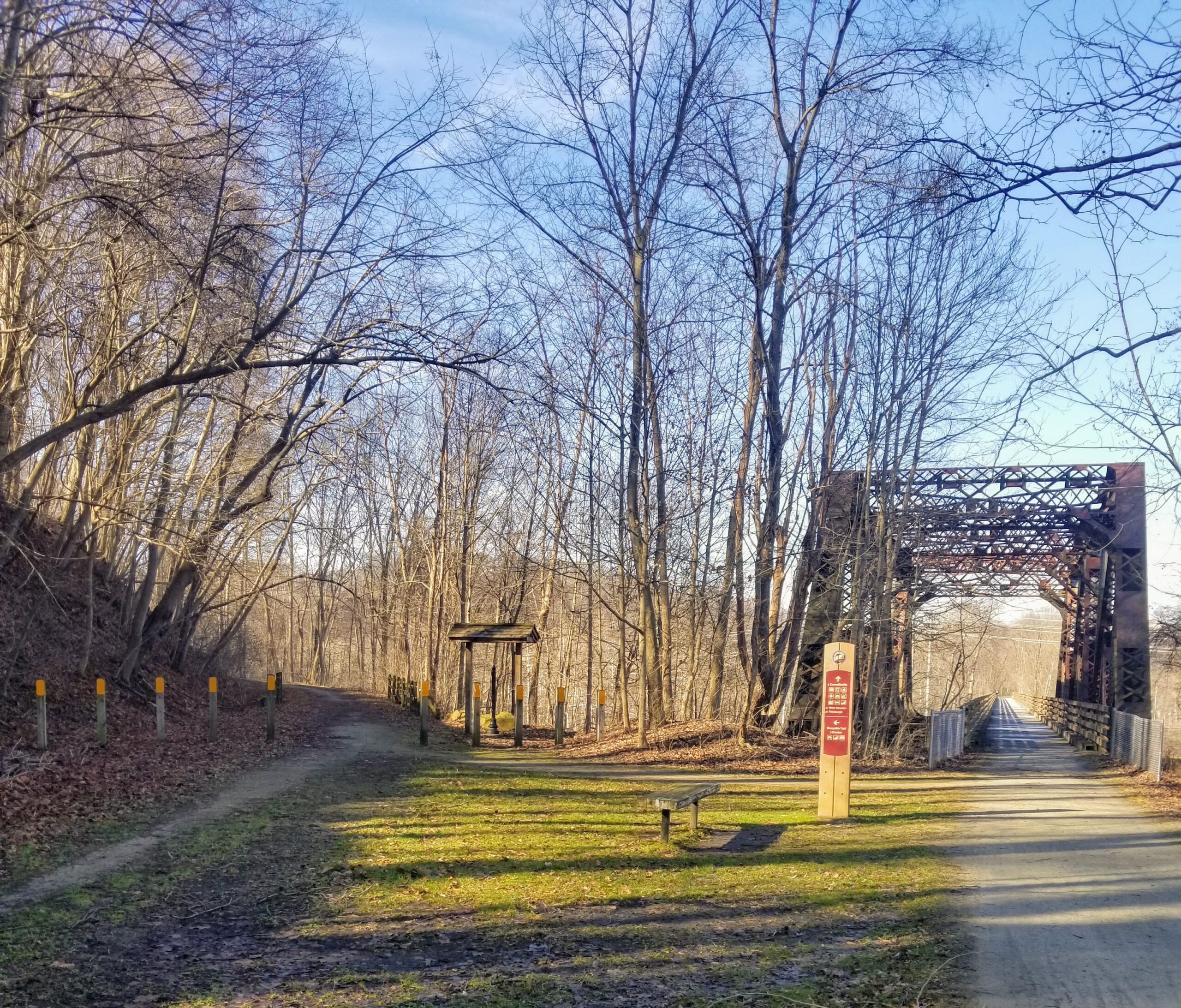
Bowest Junction & Bridges
Bowest is short for the B&O-Western Maryland Junction where the Western Maryland spur served mines in West Virginia. The first two miles have been converted into the Sheepskin Trail that runs to the small iron furnace town of Dunbar.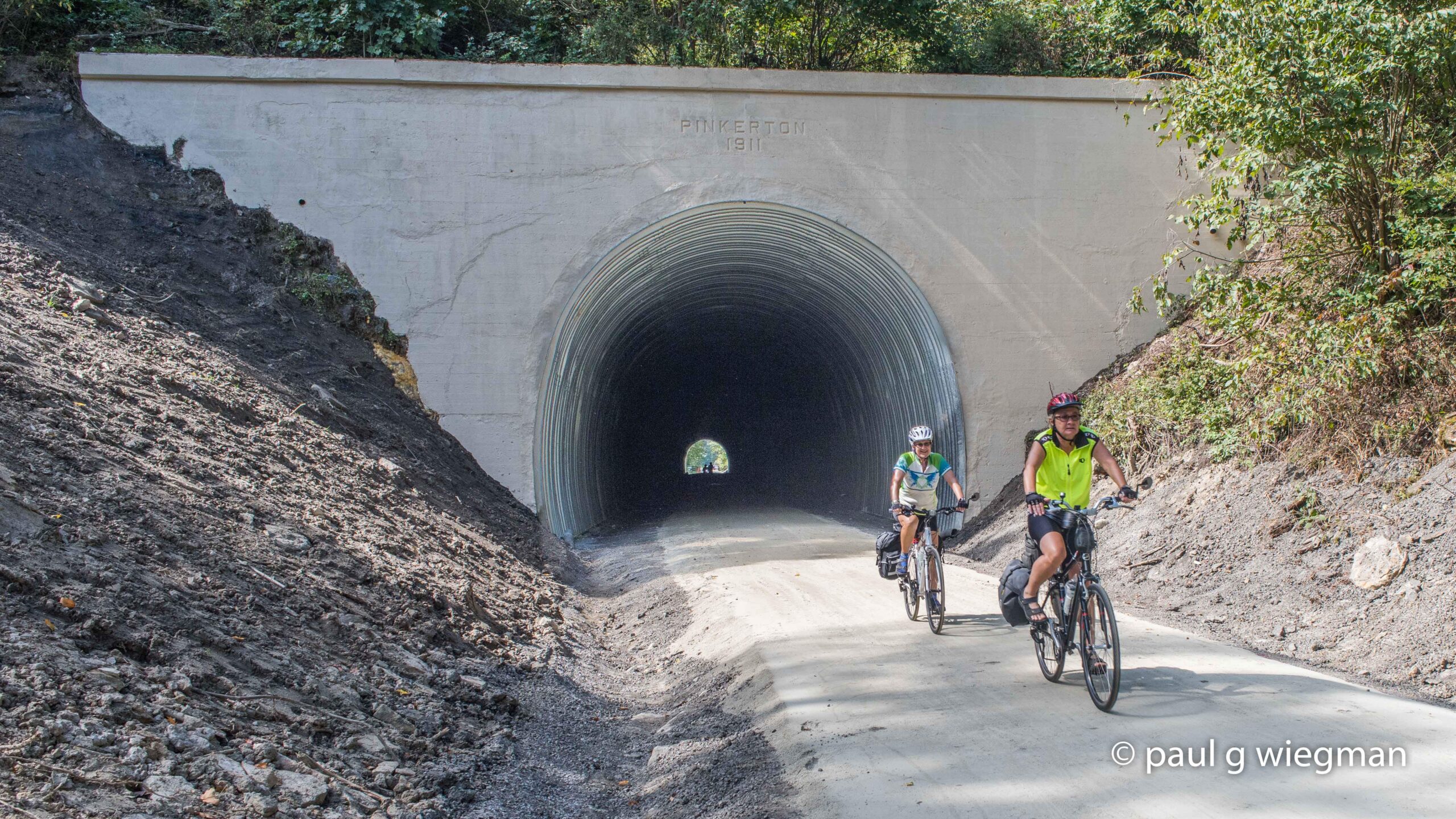
Pinkerton Tunnel
There were once two railroad tunnels built through the Pinkerton Horn; a narrow pinch of erosion-resistant land that created a peninsula in the Casselman River. Major work was undertaken in 2015 to reline the Western Maryland tunnel, making it safe for trail use.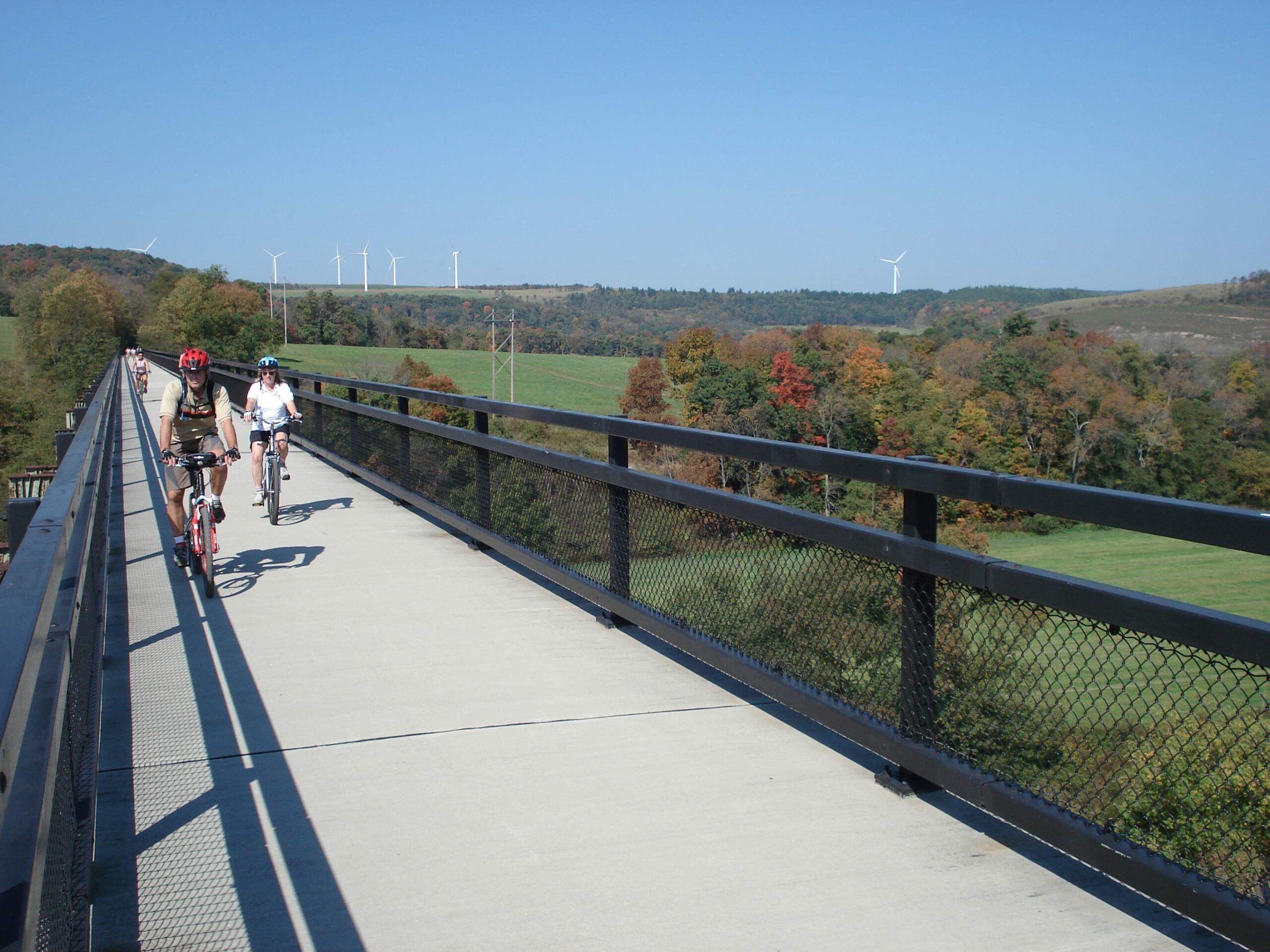
Salisbury Viaduct
One of the most distinctive structures on the Great Allegheny Passage; the Salisbury Viaduct at 1,908 feet long dominates the valley. The 101-foot-high steel trestle was a key engineering achievement for the Western Maryland Railway Company’s Connellsville Extension.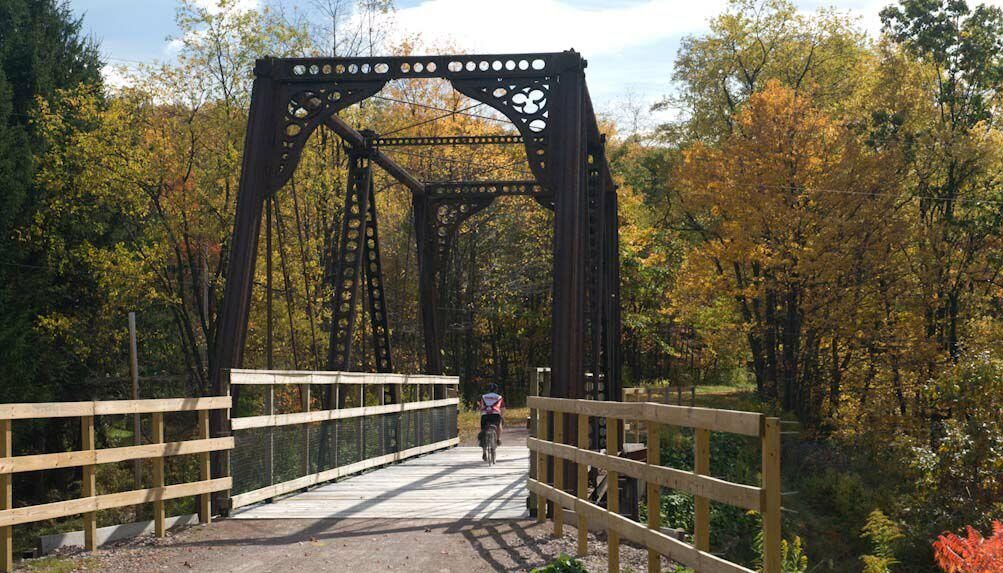
Bollman Bridge
This iron bridge was originally built by the B&O Railroad to cross Gladdens Run in Bedford County. It was moved to Somerset County over 100 years ago to serve as a farm road crossing over the railroad. In 2007 it was again relocated to have a new life serving the trail.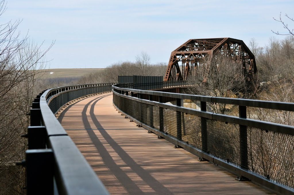
Keystone Viaduct
This 910-foot long elegantly curved combination truss bridge/deck plate girder viaduct was completed in 2003.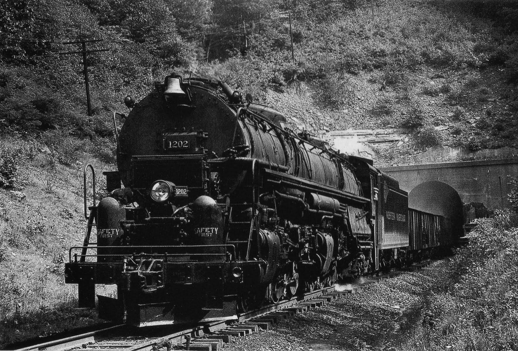
Big Savage Tunnel
In the late 1990’s, the Allegheny Trail Alliance garnered support to restore and reopen the tunnel. Hundreds of hours of reconstruction later the project was completed in late 2003.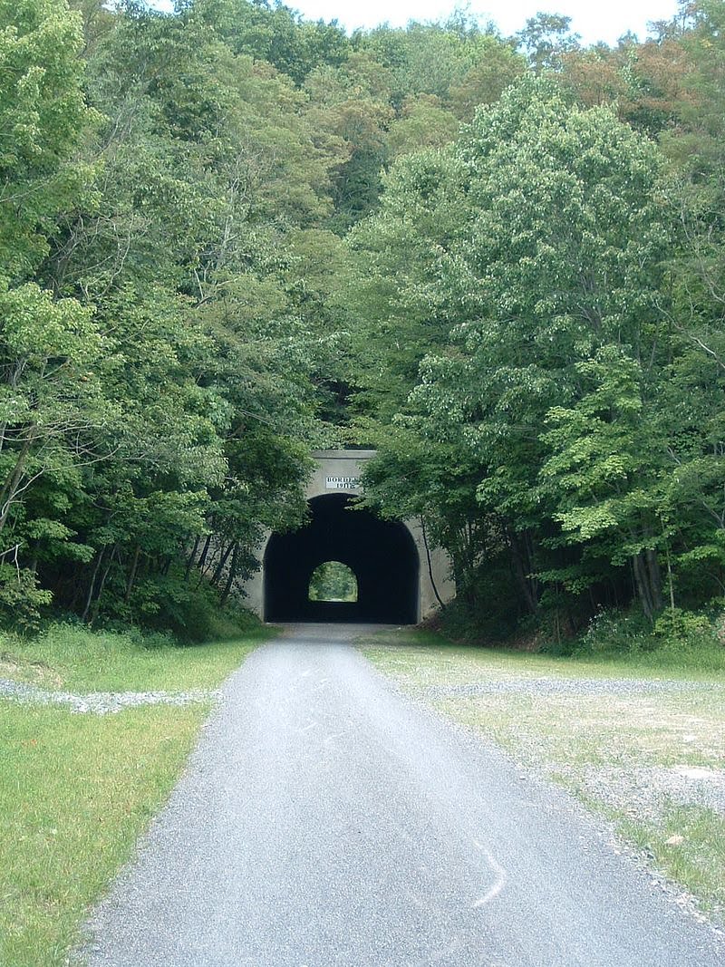
Borden Tunnel
Climbing up toward the state line on the trail, you’ll encounter the 957-foot Borden Tunnel. The Western Maryland Railroad built this tunnel as part of its Connellsville subdivision in 1911.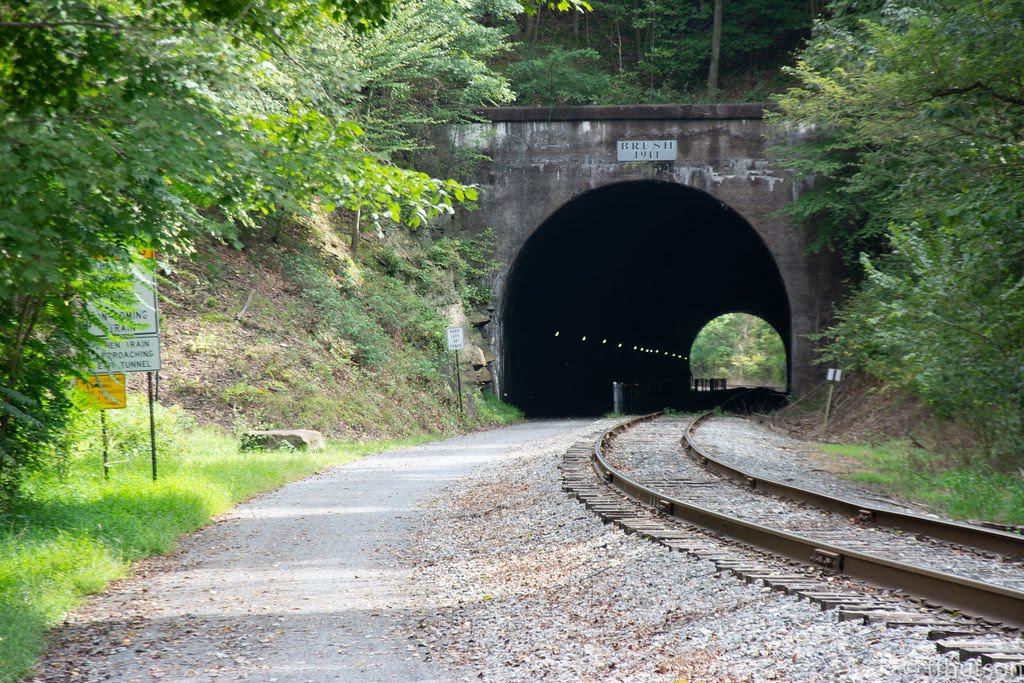
Brush Tunnel
Shortest of the two concrete-lined tunnels in Maryland, this lighted tunnel was opened for use in 2006.Rails Before the Trails

Western Maryland freight train at the west portal of Big Savage Tunnel, Somerset County, PA, c. 1954. Photo by William Price, courtesy of Frostburg State University.
Railroads fueled western Pennsylvania’s Industrial Age. Three play a role in the Great Allegheny Passage (GAP). The need to transport coal, coke, and steel built the railroads at the end of the turn of the 20th century. Two of those railroad corridors—the Western Maryland Railroad and Pittsburgh and Lake Erie are now the primary path of the Great Allegheny Passage and the third—the Baltimore and Ohio–in part, caused those corridors to be abandoned. Read more about the railroads.
Before the Rails
A Passage Through Time & The Mountains